
Perris Neighbors Around One Address
A block lookup begins with geography. Use Map My County or the Perris zoning map to locate the anchor address, turn on parcel and identify layers, and record the APNs that touch the anchor. Then choose the source that fits the question. GIS shows geometry and jurisdiction. A deed shows a recorded transaction. A permit shows a project party. A public civic page shows an organization or district. None of these is a complete list of people on a block.
| Source | What it shows about a block | Access |
|---|---|---|
| County GIS parcels | Adjacent polygons, APNs, boundaries, layers | Free interactive viewer |
| ACR assessor result | Situs, legal description, values, transfers | Free web search or office channel |
| Recorded deeds | Legal owners and recorded transactions | Free index; paid copies |
| City permits and planning | Project parties, work, dates, neighboring parcels | City portal or narrow request |
| Qualified voter file | Approved residence, precinct, and district fields | Application, purpose, fee, restrictions |
| Civic or association page | Public officers, contacts, events, or district context | Organization-specific |
The block table makes neighbors a spatial question first. A person connected to one parcel may be an owner, applicant, official, or historical occupant. Use the source’s own wording and date instead of converting a connection into a current residence claim.
Perris Neighbor Records by Parcel
Map My County can turn one address into a small parcel set. Search the anchor address or APN, zoom until parcel lines and labels are clear, select the anchor, and click each adjoining polygon. The viewer’s tools can include identify, layers, legend, measure, print, parcel selection, buffer, and map export. The Perris zoning map accepts an address or `APN:` plus nine digits and adds local planning layers.
Use a small selection. The service notes record a 2,000-feature limit, so a block is more defensible than a citywide export. Save the map date, layer names, APNs, and any city or county boundary shown. A rear parcel, alley parcel, or corner lot may be adjacent without sharing the same mailing street.
Address → APN → adjacent polygon → jurisdiction layer → source-specific record
GIS is informational and not a survey or title report. It gives the shape of the block, then hands the identity question to the assessor, recorder, city, or election custodian.
Adjacent Parcels Are Not Same-Street Neighbors
Parcel adjacency and street adjacency are different. A side or rear parcel may face another street. A drainage strip, common area, school, or commercial parcel can sit between houses. A map label can lag a boundary change. Use the parcel polygon and legal description first, then check the situs and jurisdiction in ACR.
- Anchor parcel
- The parcel selected from the starting address.
- Adjacent parcel
- A polygon that touches or lies next to the anchor on the map.
- Situs
- The physical address assigned to a parcel or improvement.
- Jurisdiction
- The city or county authority responsible for a record or service.
- Buffer
- A mapped distance around a point, not a list of people within it.
Perris postal geography adds another caution. A Perris mailing address can fall outside the incorporated city line, and an annexation can change jurisdiction without changing ZIP or postal city. Keep the city-limit, ZIP, and parcel-jurisdiction facts in separate columns.
Perris Block Records by Source
After the APN set is built, each official record can add one layer. The assessor can show parcel facts and transfer references. Deeds name legal parties and recorded dates. Permits may show applicants or contractors. A public association page may show an officer or management contact. A qualified voter-file request can contain approved residence fields, but it is not an anonymous public block browse.
| Block clue | Identity contribution | Limit | Next check |
|---|---|---|---|
| APN and situs | Fixes parcel and location | Not a household roster | ACR transfer history |
| Deed party | Shows recorded owner or transaction party | Not current occupancy | Legal description and prior deed |
| Permit applicant | Shows project connection and date | Not every person at a site | City file or planning report |
| Voter-file field | Approved residence, precinct, or district | Purpose and security limits | Registrar rules |
| Association contact | Public organization route | Member rosters are not presumed public | Organization or management office |
The block’s official trail should be written as a set of source statements. “The APN borders the anchor” is different from “the grantee lived there.” That discipline keeps a neighbor search useful for parcel, civic, and historical work.
Perris Voter Records at a Block
My Voter Status is an identity-authenticated self check. It asks for name, date of birth, California ID or last four Social Security digits, and can return the voter’s status, address, party preference, polling place, and election details. It cannot browse all Perris neighbors or show an open block list.
A qualified voter-file request under Elections Code section 2194 is separate. Approved election, scholarly, journalistic, political, governmental, and specified investigative purposes may qualify. A statewide file costs $100. A specific-voter request can identify up to ten voters, costs $30 per record with a $100 cap, and requires names, dates of birth, county, residence address, purpose, certification, and security commitments. The authorized layout excludes driver license numbers, state ID numbers, Social Security digits, unique identifiers, and signatures.
The voter-file request image below comes from the California Secretary of State voter-file guidance.
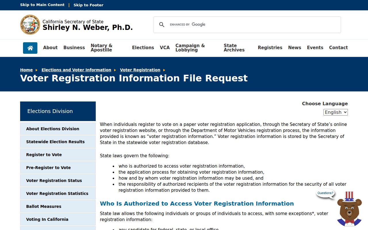
The form’s purpose and certification requirements explain why a Perris block lookup cannot be built from an ordinary public voter-status page.
Perris Block Records and Permits
Planning and permit files can explain what changed around a block. Perris Development Services resources and environmental reports may include APNs, project applicants, roads, maps, specific-plan boundaries, neighboring parcels, and work dates. The city’s development pattern includes Downtown, New Perris, Perris Valley Commerce Center, Riverwalk, Villages of Avalon, Harvest Landing, Green Valley, and May Ranch as planning or community labels. They are not resident lists.
When a permit is not posted, ask the City Clerk or NextRequest for a defined record by APN, project number, department, and date range. The city handles incorporated property, while Riverside County handles unincorporated parcels even when a Perris ZIP appears. A project applicant or contractor is a named project party, not proof of a household connection.
The City of Perris community-information route is linked from the official civic page. Use it for public community context, not private membership data.
The local safety-records route is the Riverside County Sheriff Records Bureau. Its public request information can help a reader identify an incident or report channel, but it does not create a block roster.
The records-bureau image belongs to the official Sheriff source and keeps public safety contact separate from private neighbor information.
Find a Perris HOA as an Organization
No citywide official Perris neighborhood-association directory with public member lists was located. That absence matters. A named development or association can be found through public city community context, recorded CC&Rs, a California entity record, or a management contact when the organization publishes one. The organization is the public contact point. Individual membership is not presumed public.
| Community layer | Public route | What it may show |
|---|---|---|
| Downtown Perris | City community and council maps | Civic geography and public events |
| North Perris and PVCC area | City planning and project resources | Plan, road, parcel, and project context |
| Monument Ranch or Avalon-area development | Recorded CC&Rs or organization contact | Development or association route |
| Neighborhood Watch | Riverside County Sheriff contact | Public safety contact, not a roster |
Search the Secretary of State entity record or a published management contact for the organization, then ask only for public meeting or contact information. Do not ask a group to disclose private members. The community layer helps a block lookup understand local structure without turning it into a people list.
Perris Neighbor Records and Civic Maps
Council district maps, city community pages, public events, the Perris Valley Historical Museum, the Southern California Railway Museum, library programs, and school or board publications form the civic layer around a block. They can explain an institution, neighborhood name, rail or agricultural history, or public contact. They do not establish that every attendee or member lives nearby.
When the question concerns a historic neighbor, newspapers, yearbooks, museum files, church or veterans archives, and community newsletters may be more useful than modern parcel tools. Keep the title, issue date, page, and repository. If a roster is not openly published, stop with the public organization facts.
Official Rolls Versus Neighbor Tools
Official sources have a named custodian and a defined record purpose. Commercial neighbor tools can merge assessor, marketing, and other feeds, which may create stale addresses or incorrect relationships. A map vendor’s radius is not the same as a county parcel boundary. A commercial match can be a lead, but the official record is the check.
- County GIS and ACR
- Strength: parcel, APN, legal description, and jurisdiction. Weakness: it does not show every household member.
- Recorder
- Strength: recorded party and transfer trail. Weakness: a party is not automatically an occupant.
- City permit file
- Strength: project, applicant, work, and date. Weakness: case and privacy limits apply.
- Commercial neighbor category
- Strength: it may suggest a name or association. Weakness: feeds can be stale, merged, paid, and unofficial.
Use the category comparison to choose the next custodian. Do not publish an inferred block list when the underlying source cannot support it.
Why Perris Neighbors Stay Unlisted
Household members, utility customers, delivery records, DMV addresses, protected voter addresses, nonpublic school records, and Safe at Home participants do not become public because a parcel is visible on a map. An occupant may never appear in a deed, permit, license, or directory. The absence of a name is not proof that the person was absent.
The Riverside Sheriff inmate search and public offender registry are status tools with their own warnings, not evidence that a person is a current neighbor. Arrest or custody data does not prove residence. Registry maps can use an approximate location, and misuse to threaten or harass is prohibited.
The county inmate search image below links to the Riverside Sheriff public inmate system.
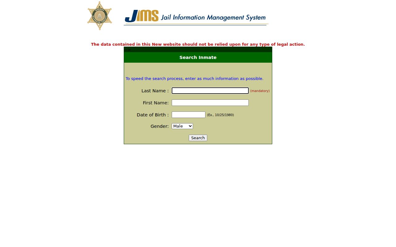
The interface is a custody lookup, not a block directory. Keep the record category and its limitations visible when reviewing a result.
Keep Protected Perris Addresses Private
California Safe at Home provides a substitute mailing address and confidential forwarding for qualifying survivors and certain threatened workers. Government Code sections 6205 through 6211 and section 6208.1 restrict public display after the required nondisclosure demand. Voter-file rules protect sensitive fields and purposes. A block map should never be used to reverse a protected address.
The California Megan’s Law website carries its own warnings against crime, harassment, and misuse. The registry result image is included as a reminder that an official status page still has legal limits.
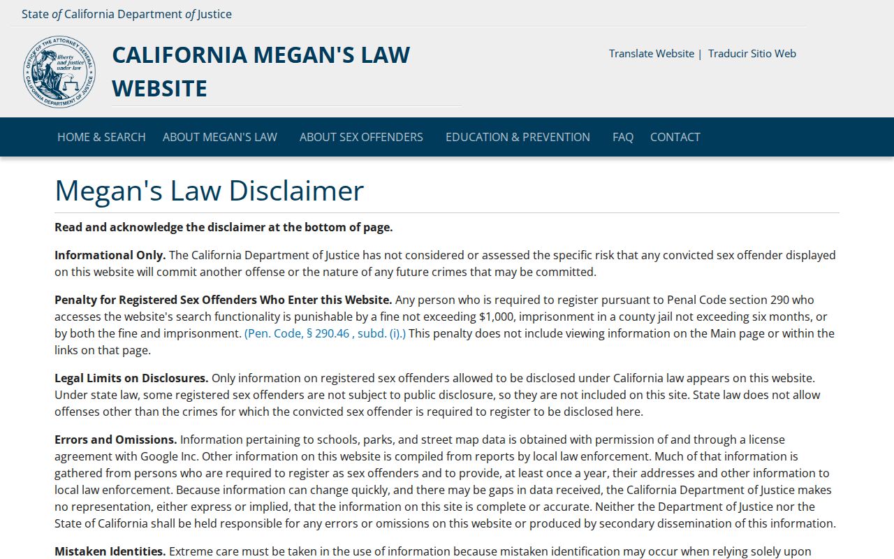
Never use a registry map or a neighbor clue to contact, threaten, follow, or expose a person. For immediate danger, call 911. For an incorrect record, contact the custodian.
Privacy Limits on Perris Neighbor Lookup
A Perris neighbor lookup is lawful only when it stays within a respectful, personal purpose. Use APNs and maps to understand land, deeds to understand recorded transfers, permits to understand public projects, and civic pages to find organizations. Do not assemble private household details from unrelated sources. The full named-street chain belongs on the Perris street directory, while this block method stops at the immediate parcel and community layer.
Lawful use. Neighbor records are for personal, civic, historical, and safety research. Do not use any result to stalk, harass, intimidate, threaten, impersonate, or publish a protected address.
A good block note ends with the source, date, APN or public organization contact, and a plain statement of what remains private. That is enough to understand a Perris block without claiming a roster that no lawful source provides.